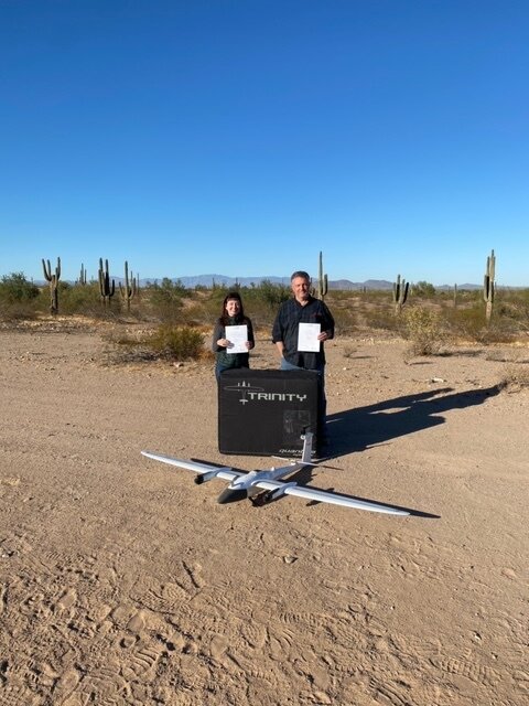
Quantum-Systems Trinity F90+ eVTOL fixed-wing mapping drone for professionals
More survey data in less time
The perfect drone for mapping, mining, agriculture, & inspections. The Trinity F90+ leverages this platform and improves many aspects to offer professional users even more functionality at an unbeatable price. Get yours today at Sky Flight Robotics!
Best Pricing - In Stock
Ask about government/education discounts


Trinity F90+ UAV
90+ MINUTES FLIGHT TIME
POST PROCESSED KINEMATIC (PPK)
Auxiliary GNSS data collection in flight brings the reduction of typical GNSS geotagging errors of several meters down to 2 – 5 centimeters, with better accuracy at a lower cost.
LIVE AIR TRAFFIC (ADS-B)
Including QBase 3D Mission Planning
iBASE
iBase is a reference base station that provides PPK-quality relative geotagging precision by logging GNSS reference measurements for later use when post-processing QBase flight data. Absolute GNSS reference is available when operating at externally georeferenced points.
QBASE GROUND CONTROL STATION
Mission planning software which runs on any Windows PC/Laptop, allowing for corridor planning, live air traffic communication and resume mission commands.
HIGH PRECISION SENSORS
Dual RGB & NDVI payload and 42 MP HighRes RGB
TECHNICAL SPECIFICATIONS
Weight with Standard Camera: 11.0 lbs. (5.0 kg)
Material: Durable Elapor® Foam/Carbon Fiber Structure
Wingspan: 7.84 ft. ( 2394 m)
Cruise Airspeed: 33 kn (17 m/s)
Max. Range (Area) 100 km = 700 ha

Trinity F90+ PAYLOAD COMPARTMENTS


QBase3D – Intuitive Mission Planning
The mission planning software is the main interface between the user and the drone. QBase3D provides simple and intuitive planning in combination with advanced functionality for professional users.
3D AREA PLANNING
The 3D area planning feature provides the automatic creation of flight plans in sloped and mountainous areas. It uses high resolution digital elevation data (e.g. SRTM) to create collision free and energy optimized trajectories for an optimal data quality result.
CORRIDOR PLANNING
The corridor planning function creates optimized flight plans for mapping infrastructures like roads, railways and power lines. It optimizes the flight segments according to the terrain altitude as well as the camera characteristics.
LIVE AIR TRAFFIC
The ADS-B data of other aircraft can now be visualized in QBase to preserve the UAV operator‘s situational awareness. Furthermore, QBase performs a risk and collision assessment and offers operator support to prevent collisions. These features enable safe BVLOS flights and missions within controlled airspaces